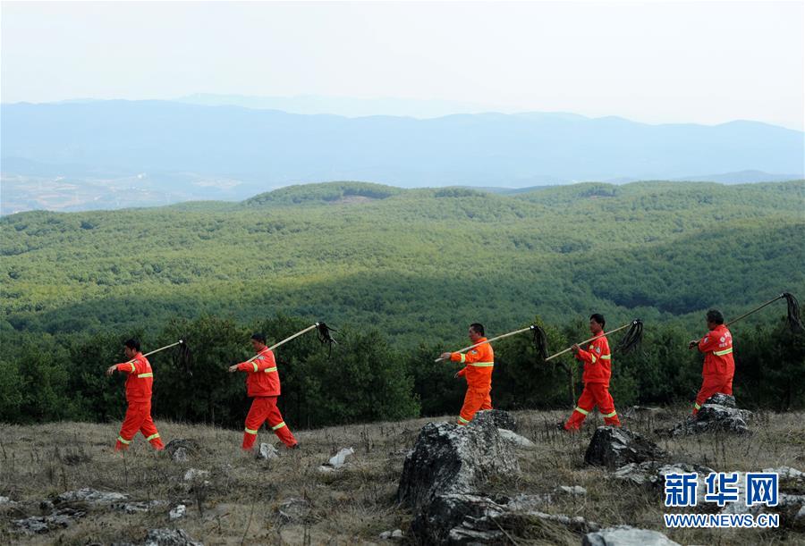
Zvezdara Forest ( / Zvezdarska šuma) is a park-forest in Belgrade, the capital of Serbia. Majority of the forest is located in the municipality of Zvezdara with only the small northernmost section being on the territory of Palilula. After Košutnjak and Topčider, Zvezdara is the largest forest in the urban zone of Belgrade and with them, the most important source of the oxygen for the city. While the Košuntjak-Topčider complex is being called the "Belgrade's oxygen factory", Zvezdara forest bears the moniker "left lung of the city".
Location
Zvezdara forest is completely surrounded by the city's urban area and covers most of the tall Zvezdara Hill. It is situated in the northernmost section of the municipality of Zvezdara, on the border with Palilula. The northern and eastern boundary of the forest is formed mostly by the Dragoslava Srejovića street, except for a wooded patch which spreads into the neighborhood of Karaburma. Karaburma marks the forest's northern (Stara Karaburma) and northeastern border (Ćalije). The forest is bordered by the neighborhood of Mirijevo on the east, Zeleno Brdo on the southeast, Zvezdara on the south, Bulbulder and Zvezdara II on the east and Bogoslovija on the northeast.
Name and history
On the northern slopes of the hill remnants of the prehistoric and Celtic period have been found (Rospi Ćuprija). Historically, Zvezdara hill was known as Veliki Vračar (Great Vračar). Vračаr area at that time occupied much wider area that it does today and was divided into West Vračar, East Vračar and Great Vračar. Turkish source from 1621 describes it as "a hill and a big field". In the 17th and 18th century, the area was covered in vineyards, orchards and lush oriental gardens, a major excursion ground for the wealthy Belgrade Turks which called the hill Ekmekluk and built their summer houses there. When Belgrade was occupied in 1717 by the Austria, a defense moat was built whose outer section crossed the hill, where the modern Volgina street is today. After Austria re-occupied Belgrade in 1789, the trench was reconstructed by the general Ernst Gideon von Laudon and became known as the "Laudan trench" (Serbian: Laudanov šanac or simply Šanac). Due to the military importance of the hill, its gardens were neglected.

In the 19th century the foothills were not urbanized and, being far from the city center, were used by the Belgraders as a resort and picnic area, named Baba Ružin kraj ("Grandma Ruža's neighborhood"). King Peter I of Serbia wanted to build his royal court on the hill but was persuaded not to do so because it would be easily accessed from the Danube'd direction in the case of war. In the beginning of the 20th century the Veliki Vračar Hill area was designed for afforestation. After the World War I the hill was covered with meadows, vineyards and many brickyards and the neighborhood at the foothills of Veliki Vračar began to develop, mostly a modest settlements of the farmers and wage earners. In 1929-32 an observatory designed by Czech-born architect Jan Dubový (1892–1969) was built on top of the hill, roughly in the middle of the forest. The observatory was originally called zvezdara ("star-house") in Serbian, so the hill and the developing suburban area of Belgrade around it was named that way soon. In time, Latinism opservatorija replaced zvezdara, which in turn completely disappeared from spoken language as such, but remained as a name of Belgrade's neighborhood. As a result, many today believe Zvezdara was named simply after stars (Serbian zvezda, star). After the construction of the observatory, the forest creation began in 1933, making a unique artificially created green zone in Belgrade's urban tissue. The forestation was intensified after 1945. The most massive forestation occurred from 1948 to 1950 when tens of thousands of seedlings were planted. Belgrade's 1972 General urban plan officially classified Zvezdara forest as the park-forest.
Characteristics
The forest is generally a crescent-shaped wooded area which today covers an area of , out of which is arranged as a park. There are many paths and proper streets, including the Volgina street which criss crosses the entire forest. The forest was partially expanded to alleviate the effect of the strong košava wind. while the extension on the southern slope, towards the hospital, prevents the possible mass wasting. It creates a milder microclimate, conducts fresh air to the central urban tissue, prevents the erosion and creates a mass natural underground water reservoir. Also, it prevents the pollution from the industrial city of Pančevo on the east to reach the center of the city.