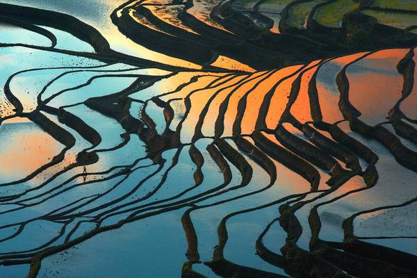
Endeavour to portray your ground faithfully--1st. By preserving the direction and bend of streams as in nature; 2nd. By giving the run of the ridges correctly; 3rd. By fixing the peaks, ledges of rock, precipitous falls and flats carefully; 4th. By showing the saddles or depressions between peaks, which can only be done by giving the peaks on either side sufficient relief in shading; 5th. By attending strictly to the true breadth of valleys; 6th. By suppressing all hollows with a suitable depth of tint; 7th. By careful representation of the banks of streams in the valleys; and lastly, by finishing shades and touches, in which is comprehended the retouching with brush or pen work the entire piece, strengthening the shade of the higher ridges and peaks to show their relative heights, and suppressing the white tint along the ridges.
Many excellent draughtsmen are in the habit of leaving the ridge of mountain ranges quite white; this is evidently a mistake, for, unless the ridge of any range of hills is of one uniform height from end to end, it cannot correctly be left white. Thus a wrong impression is conveyed of the surface of the ridge, the white streaks look harsh and are displeasing to the eye, and a stiff and unartistic look is given to the finish of the drawing.

The means of communication, whether by roads or minor tracks, are important, both for civil and military purposes, and should be carefully inserted in the map. This can generally be done with facility in a hilly country, as the fixed marks will be visible in sufficient number along the road, so that the latter may be drawn in at once by plane-table operations along the line of communication to be surveyed. In flat countries, or where the view is circumscribed, it may be necessary to resort to measurements and plotting; but should any case occur where the fixed points of reference are far apart, the traverse system must be resorted to, and the road should be plotted from computed co-ordinates.