Sometime after these later Ordovician rocks formed, great stresses within the earth’s crust folded and in some places faulted these older rocks. The pressure and resultant heat created during these earth movements converted the rocks into metamorphic schists, phyllites and quartzites which are seen today (See cross section B, Fig. 5). Exactly when these diastropic events took place is still open to question, but they probably occurred near the end of Ordovician time or perhaps millions of years later during the last phases of the Devonian Period.
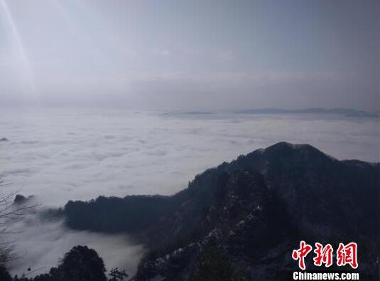
Probably since late Paleozoic time the Coolidge Park area has been subjected to breaking-down rather than building-up processes. Eventually this whole region was reduced to a flat plane with only a few hills, called monadnocks, rising above the general flatness of the landscape. Still later in the history of Coolidge State Forest Park this flat plane was lifted high above its former position and streams began to shape the land into its present form. The more resistant rocks were lowered by the forces of erosion at a much slower rate than the less resistant types. The hills and valleys which you see today are primarily the result of this general uplift followed by the wearing away of the softer rocks at a more rapid rate than the harder rock types. Since the formations trend in a north-north-west direction, the hills and valleys are also oriented in this general direction, as the different resistive qualities of the rocks are presented in this pattern.

The story is not complete without mention of the last modifying influence to affect this region. Approximately one million years ago the first of perhaps three glacial advances began. These large glacial masses, termed continental glaciers, slowly advanced southward over the northern sections of the United States and covered a vast region with a thick sheet of ice. As these ice masses rode over the Coolidge Park region they tended to round-off irregular features of the landscape and to fill in certain low regions with their transported rock debris. The rather smooth outlines of the hills in Coolidge Forest Park and the sand and gravel deposits so apparent adjacent to nearby streams tell the story of these glacial advances and subsequent withdrawals. Other evidence of the overriding ice is seen in the presence of scratch marks, termed glacial striae, which were produced by fragments of rock as they were dragged by the moving ice across the underlying rocks. Along the east bank of Broad Brook and approximately two hundred yards south of the bridge at Five Corners, abundant glacial striae are clearly displayed. The orientation of these striae indicates that the glacier producing them moved from north north-west to the south south-east.